Severe Thunderstorm Watch Issued for Southwestern Saskatchewan
Environment Canada warns of potential for large hail, strong winds, and heavy rain as region faces consecutive severe weather systems
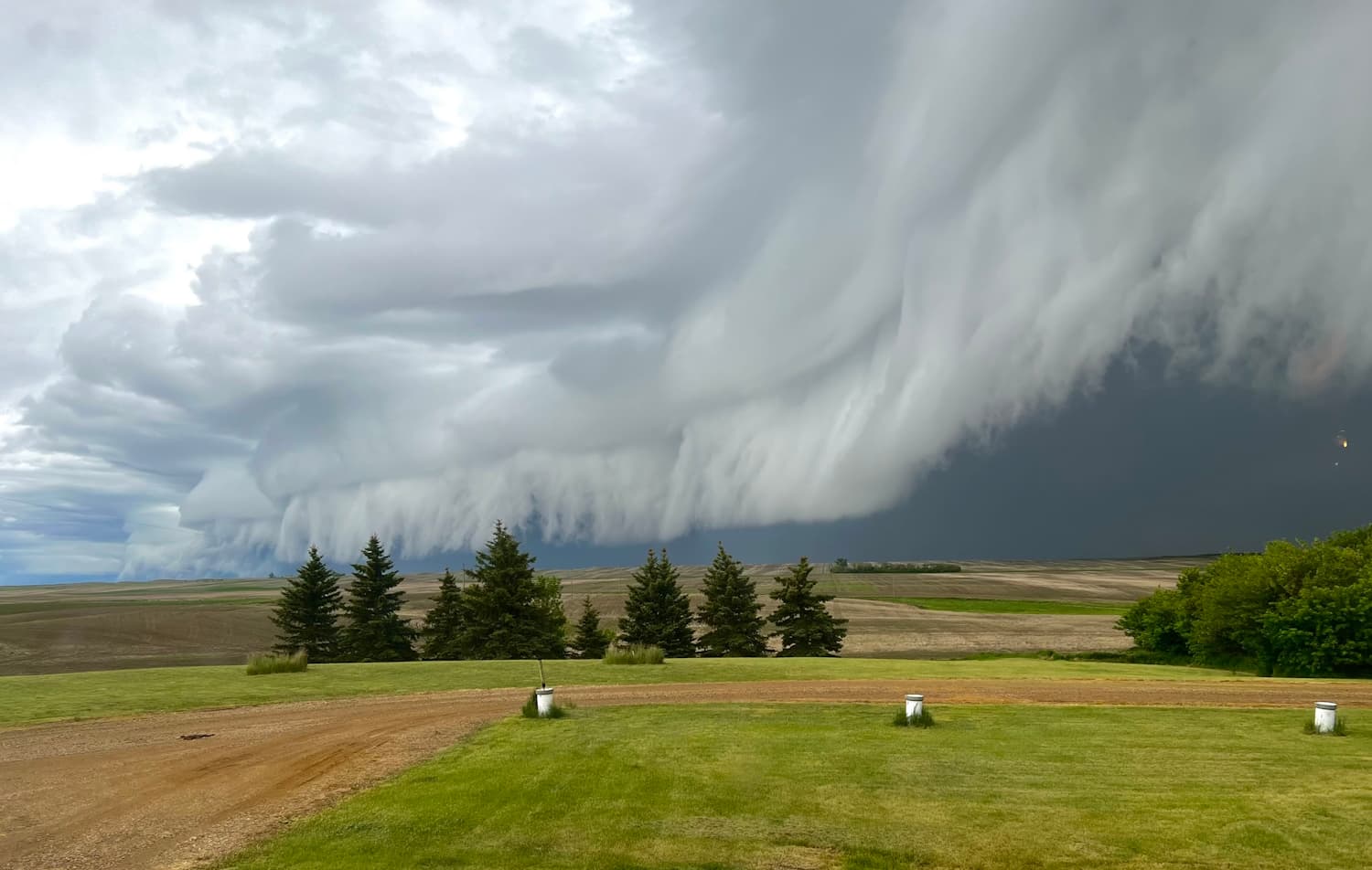
Environment and Climate Change Canada issued a severe thunderstorm watch for much of southwestern Saskatchewan on Wednesday afternoon, warning of the possibility of hazardous weather conditions as a new storm system approaches the region. The watch was announced just before 3 p.m., with meteorologists forecasting the development of thunderstorms along a warm front in Alberta. These storms are expected to move eastward into Saskatchewan later in the evening.
According to Environment Canada, the conditions are favourable for the development of severe thunderstorms that may be capable of producing strong wind gusts, large hail, and heavy rain. Meteorologist Chloe Katsademas stated that the strongest storms could bring hail measuring between four and six centimetres in diameter, wind gusts ranging from 90 to 100 kilometres per hour, and rainfall totals of up to 50 millimetres. The agency's alert noted that the combination of available moisture and atmospheric energy in the region is contributing to the elevated risk of severe weather.
This watch comes only three days after a significant storm impacted southwestern Saskatchewan, bringing hail, heavy rain, and damaging winds. On Sunday night, Swift Current recorded 26.4 millimetres of rain, wind gusts reaching 113 km/h, and hail ranging from the size of dimes to toonies. The event caused flooding and damage to crops, homes, yards, and vehicles throughout the area. Hundreds of insurance claims were reported in the aftermath of the weekend hailstorm in Swift Current and neighbouring communities.
Katsademas explained that the new storm system is associated with a low-pressure area developing along the Alberta-Saskatchewan border. A trough moving through the region is expected to trigger further showery and thunderstorm activity, though the exact locations where the most severe impacts will occur remain uncertain. She described the area as "convective," indicating a heightened potential for thunderstorm development due to instability in the atmosphere.
The threat of severe weather is compounded by the system’s potential to produce tornadoes. Southwestern Saskatchewan has experienced two tornadoes in the past month and a half. The Northern Tornadoes Project recently confirmed an EF0 tornado southwest of Elrose on June 29. Katsademas noted that shear associated with the current weather system means tornadoes are possible, particularly in the southern border regions from Alberta into Saskatchewan.
Environment Canada has also issued a tornado watch for parts of west-central Saskatchewan, including the Eston and Eatonia areas, alongside the severe thunderstorm watch for the southwest. Residents are being urged to take all weather warnings seriously and to prepare for the possibility of significant impacts. Katsademas advised, “Reminder to everybody, take weather seriously. If a storm looks impactful, take the necessary precautions to keep yourself safe.”
In addition to the immediate threat of thunderstorms, a special weather statement has been issued for southwestern Saskatchewan regarding an impending heat wave. The agency forecasts that daytime highs will climb into the 30°C range beginning Friday afternoon and continuing into the following week. Conditions are expected to be particularly humid during the upcoming weekend, with humidex values potentially reaching 45 on Sunday, especially in regions along and south of the Trans-Canada Highway.
The region’s recent weather has featured persistent instability. June in Swift Current was marked by cooler temperatures—no days above 30°C—and frequent rainfall, resulting in conditions that meteorologists say feel more like spring than early summer. The abundance of moisture in the soil and atmosphere is providing further fuel for convective storm development, increasing the likelihood of severe weather events.
Local authorities and meteorologists are closely monitoring the approaching system, which is expected to move into southwestern Saskatchewan early Wednesday evening and could persist into Thursday morning. The uncertainty regarding the precise track and severity of the storms has prompted weather officials to emphasize the importance of vigilance among residents and agricultural producers, given the potential for repeated impacts within a short timeframe.
The possibility of additional hail, strong winds, and flooding presents ongoing risks to property, crops, and infrastructure. Recent events have already led to significant insurance claims and localized disruption. The rapid succession of severe storms highlights the challenges faced by rural and urban communities in adapting to volatile summer weather patterns, with implications for emergency preparedness, crop management, and insurance systems.
As the situation develops, Environment and Climate Change Canada continues to issue updates and advisories. The agency recommends that residents in affected areas monitor weather alerts, secure outdoor property, and have a plan in place should conditions worsen. The combined threats of severe thunderstorms, tornadoes, and a forthcoming heat wave underscore the dynamic and potentially hazardous nature of early July weather in southwestern Saskatchewan.